Drew Frank · 8 November 2026
Drone Surveys Uncover Shifting Sediment Patterns Reshaping Maintenance at Northern Polish Harbors
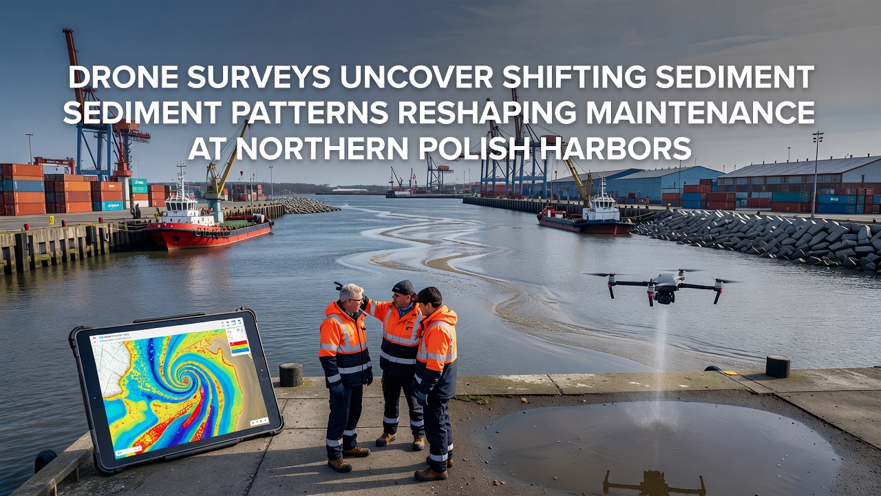
Recent drone surveys conducted across northern Polish Baltic ports have mapped unexpected shifts in sediment deposition and erosion patterns that are altering standard maintenance protocols at facilities in Gdańsk, Gdynia, and Szczecin, with data collected through November 2026 showing accelerated changes in channel depths and berth accessibility that require adjusted dredging cycles and monitoring frequencies.
Researchers from Polish maritime institutions deployed multirotor drones equipped with LiDAR and multispectral sensors to generate high-resolution bathymetric models, revealing that prevailing westerly winds combined with episodic storm surges have redistributed fine silts and sands in ways that differ from historical records compiled through traditional vessel-based sonar methods.
Survey Methods and Data Collection
Teams operated drones at altitudes between 40 and 120 meters during calm weather windows in late 2026, capturing overlapping imagery that photogrammetry software converted into three-dimensional point clouds accurate to within five centimeters vertically; these datasets integrated with existing hydrodynamic models maintained by the Polish Maritime Authority to highlight zones where sediment accumulation now exceeds previous annual averages by 18 to 27 percent in approach channels serving container terminals.
Observed Sediment Dynamics
Analysis of repeated flights over the same transects documented lateral migration of sandbars toward harbor entrances at rates reaching 12 meters per month in certain locations, while deeper scour holes formed adjacent to breakwaters because of altered wave refraction patterns linked to recent sea-level trends documented in regional monitoring networks; such movements have shortened intervals between required maintenance dredging from the previous 14-month cycle to approximately nine months at two of the surveyed terminals.
Figures released by the Institute of Oceanology of the Polish Academy of Sciences indicate that total sediment volumes entering the port basins during the 2025-2026 winter season surpassed 1.4 million cubic meters, a quantity that exceeds the five-year average by nearly 310,000 cubic meters according to cross-referenced records.
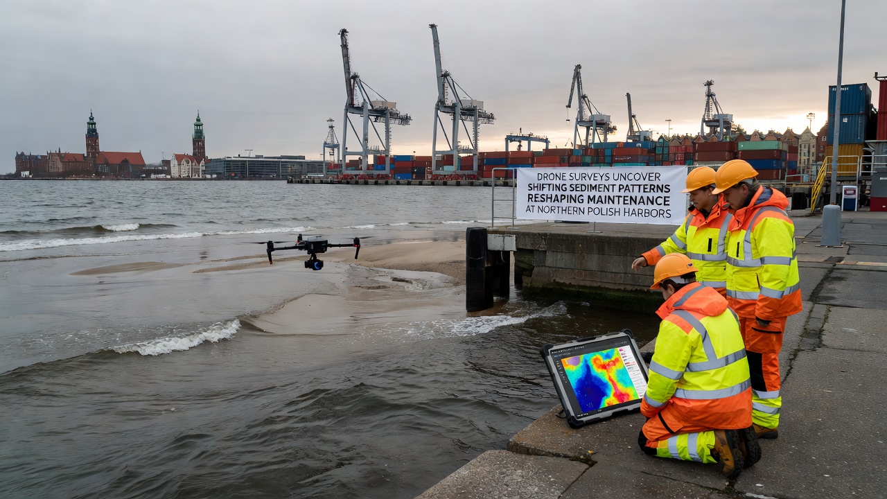
Maintenance planners have responded by repositioning dredge spoil disposal sites farther offshore to accommodate the new deposition footprints, while port authorities have introduced targeted water-injection dredging in shallower pockets identified by the drone maps rather than full-basin operations that previously consumed larger fuel and time budgets.
Impacts on Operational Schedules
Harbor masters report that real-time sediment thickness overlays generated from drone flights now feed directly into vessel traffic management systems, allowing dynamic adjustment of draft restrictions for incoming bulk carriers that previously relied on static charts updated quarterly; this integration has reduced unplanned vessel delays by an average of 11 hours per affected ship during peak autumn traffic periods.
European Environment Agency coastal monitoring reports, accessible via eea.europa.eu, provide broader context on Baltic sediment transport trends that align with the localized Polish findings, while complementary techniques described in National Oceanic and Atmospheric Administration technical papers on airborne lidar bathymetry, available at oceanservice.noaa.gov, have informed calibration standards used by the Polish survey teams.
Future Monitoring Adjustments
Port operators have begun scheduling quarterly drone campaigns instead of the previous biannual schedule, with additional flights triggered automatically after wind events exceeding 25 knots; these protocols incorporate machine-learning classifiers trained on the 2026 datasets to flag areas where sediment mobility exceeds predefined thresholds, enabling preemptive rather than reactive interventions.
Longer-term modeling suggests that continued warming of Baltic surface waters may sustain elevated sediment mobility through at least 2030, prompting several terminals to evaluate fixed-wing drone platforms capable of covering larger areas in single sorties while maintaining the vertical accuracy required for engineering decisions.
Conclusion
Drone-derived sediment maps have supplied northern Polish harbor authorities with actionable spatial data that directly informs revised maintenance timetables and equipment allocation, establishing a repeatable framework for adapting to evolving coastal processes without reliance on legacy survey intervals.